Jackson Forecast: Cold Front Brings Storms for Election Night
Residents can expect gusty winds and potential flash flooding as a system moves through Tuesday evening.
By Alexei Petit ·
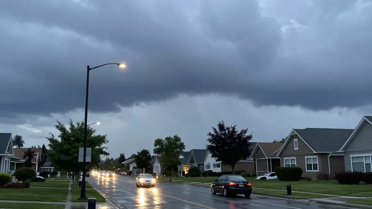
Forecasters are tracking a marginal 1-in-5 risk for severe weather in areas west of Interstate 55 this week.
The Jackson area will start Monday with mild conditions. Temperatures are hovering in the upper 50s and low 60s, while highs are expected to reach the upper 70s and low 80s. Winds will pick up in the afternoon with gusts between 10 and 15 mph, and skies will remain mostly cloudy.
Weather conditions will shift on Election Day. Most of Tuesday will stay dry until evening, when a cold front arrives. This front is expected to linger into early Wednesday morning. Forecasters warn that some storms may produce damaging winds and small hail. They also noted a chance for localized flash flooding and a brief spin-up tornado, urging residents to stay weather aware.
After the front passes through on Tuesday night, the weather will dry out for the remainder of the week. Cooler air will move in, bringing more fall-like conditions. Afternoon highs will drop to the low to mid 70s, aligning with seasonal averages.
Source: WLBT