Highs in upper 70s before Wednesday front clears humidity
Voters can expect mostly cloudy conditions on Monday and Tuesday, with a weak cold front passing through by Wednesday afternoon.
By Arjun Tanaka ·
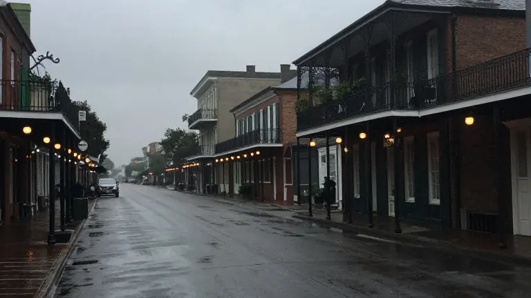
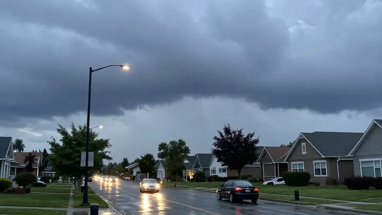
New Orleans residents can expect cloudy skies and high humidity through the first half of the week before a weather shift arrives. Temperatures will reach the upper 70s on Monday, with clouds persisting all day. Forecasters note a low chance of passing showers moving in from the southeast, but dry conditions are more likely.
Conditions will remain mostly cloudy on Election Day. There is a slight chance of isolated storms or passing showers, but voting plans should not be disrupted. A cold front is approaching from the northwest, though it is not expected to move through the area until Wednesday.
The front may bring a few showers between Tuesday night and Wednesday morning as it approaches. While strong storms could develop in western Louisiana, they are not expected to retain their intensity upon reaching the New Orleans area. This development has lowered the potential for severe weather in the region.
The system will continue to pass through steadily on Wednesday, exiting the area by Wednesday afternoon. Isolated storms remain possible during peak daytime heating as the front departs. Behind the system, humidity will drop significantly, reducing the chance of rain by Friday.
Another front is scheduled to arrive for the weekend. This second system will reinforce the lower humidity levels and may push high temperatures down to the lower 70s by Sunday.
Source: WVUE-DT